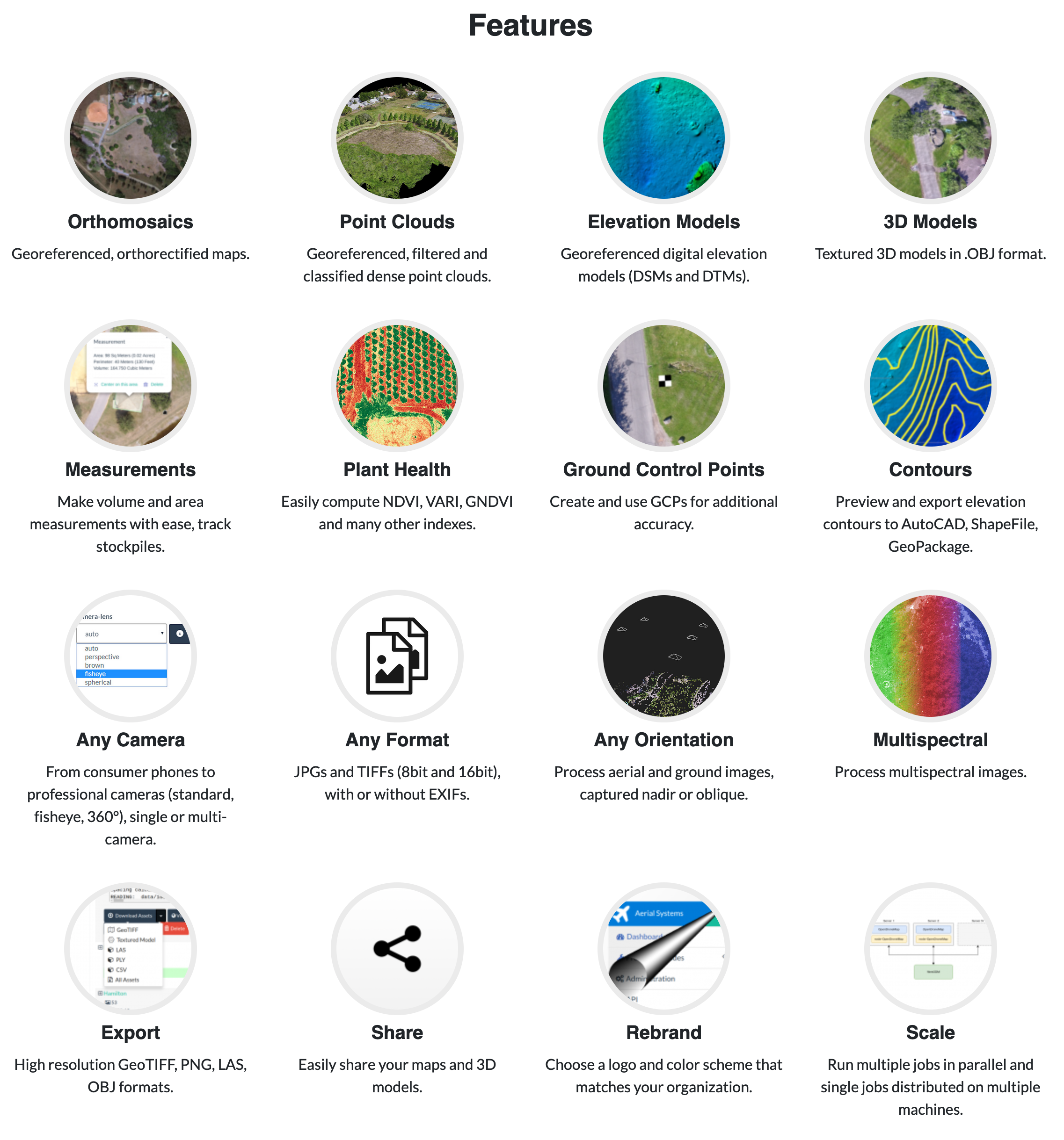
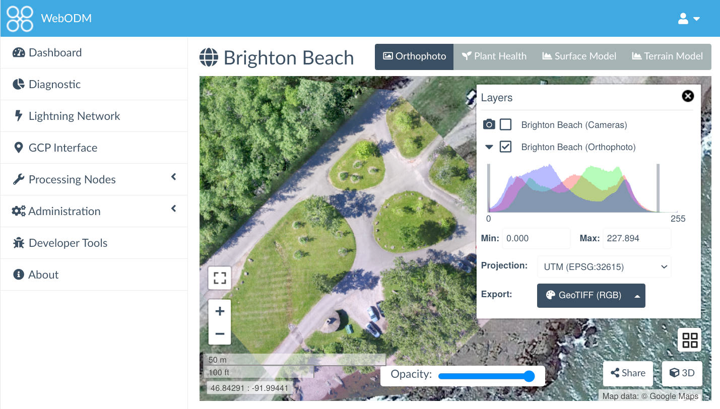
OpenDroneMap
-
- https://www.opendronemap.org/
- https://www.opendronemap.org/webodm/download/#installer
- https://demo.webodm.org/dashboard/
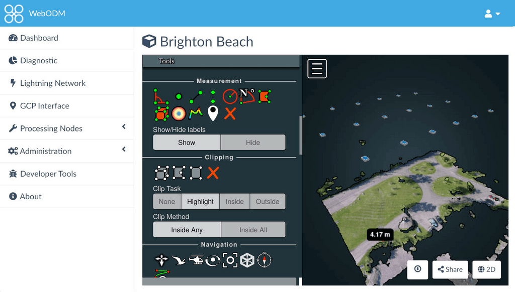
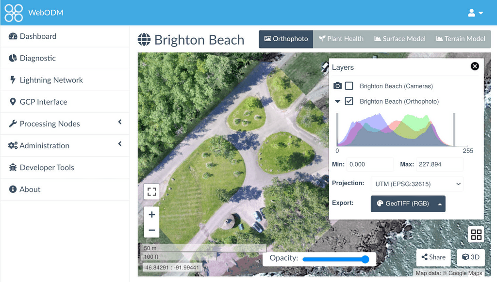
- https://github.com/OpenDroneMap/WebODM/ (Docker available)
An Open Ecosystem
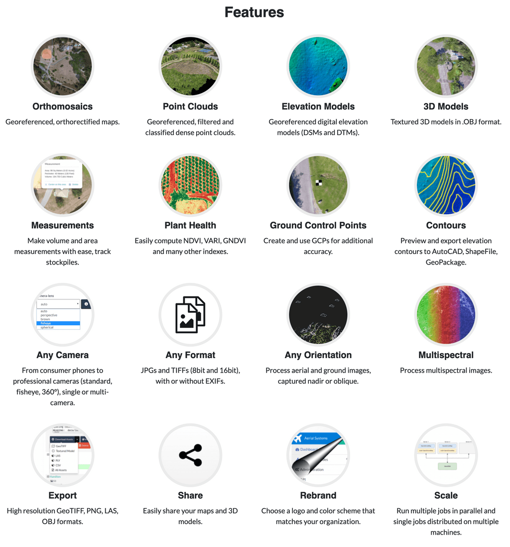
We’re building sustainable solutions for collecting, processing, analyzing and displaying aerial data while supporting the communities built around them.
-
Thanks, I wasn't aware of OpenDroneMap.
A huge proportion of internet searches are map related/geographic in nature. We really need to be able to self-host our own maps and decentralize OpenStreetMap.
There is already a request for hosting OSM here. If we could manage the upstream project, it might help cascade a load of downstream projects like ODM too.
https://forum.cloudron.io/topic/5831/openstreetmap-on-cloudron?_=1649753554608 -
Thanks, I wasn't aware of OpenDroneMap.
A huge proportion of internet searches are map related/geographic in nature. We really need to be able to self-host our own maps and decentralize OpenStreetMap.
There is already a request for hosting OSM here. If we could manage the upstream project, it might help cascade a load of downstream projects like ODM too.
https://forum.cloudron.io/topic/5831/openstreetmap-on-cloudron?_=1649753554608@LoudLemur Also found this on my travels too: https://www.maptiler.com/
Will look deeper into that at some point and may also make a Cloudron App for the self-hosted version of that too.
-
@LoudLemur Also found this on my travels too: https://www.maptiler.com/
Will look deeper into that at some point and may also make a Cloudron App for the self-hosted version of that too.
@marcusquinn
Not sure if I'm right, but MapTiler products seem to be mainly closed source.However, they contribute greatly to the open source community:-
https://www.maptiler.com/open-source/Either way, good stuff indeed!
-
@marcusquinn
Not sure if I'm right, but MapTiler products seem to be mainly closed source.However, they contribute greatly to the open source community:-
https://www.maptiler.com/open-source/Either way, good stuff indeed!
There is Qgis which you can populate with data from e.g. the Ordinance Survey:
-
@marcusquinn
Not sure if I'm right, but MapTiler products seem to be mainly closed source.However, they contribute greatly to the open source community:-
https://www.maptiler.com/open-source/Either way, good stuff indeed!
@RoundHouse1924 Yeah, I think mixed, although there's self-hosting options.
-
There is Qgis which you can populate with data from e.g. the Ordinance Survey:
@LoudLemur Nice find! My specific interest is 3D "scanning" with drones to measure and survey land and buildings, but all things mapping are cool eh!
-
 M marcusquinn referenced this topic on
-
I've started using WebODM this year and it is amazing, would love to see this on cloudron.

